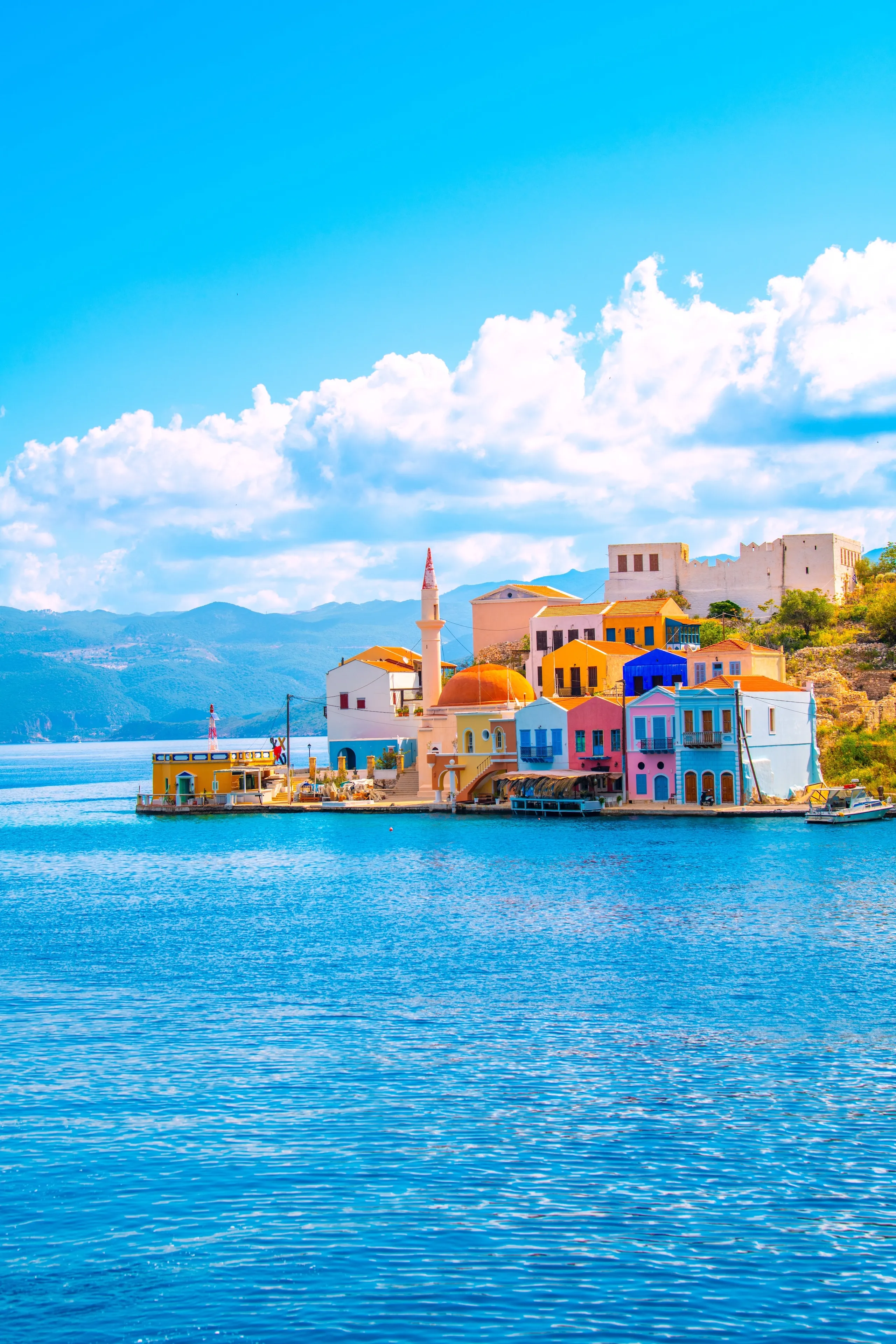
Hiking on Kastellorizo
Discover the island's rugged beauty through 12 waymarked trails
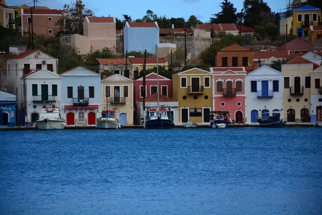
The Village Walk
A relaxed stroll, showcasing the settlement’s monuments, neighborhoods and harbor views.
- Difficulty
-
- Distance
- 2.1 km
- Time
- 40'
- Ascent
- 80 m
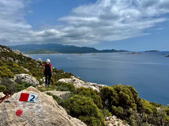
The Aghios Stefanos Trail
An easy trail on an old stone-built path, with stunning sea views, and access to Plakes.
- Difficulty
-
- Distance
- 2.3 km
- Time
- 50'
- Ascent
- 123 m
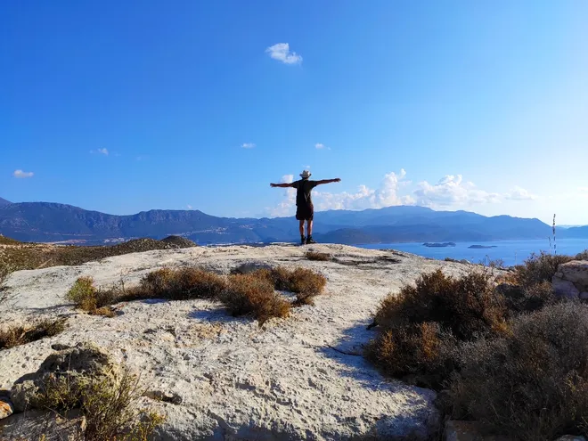
The Mounta - Kastreli Trail
An adventurous ascent on rocky terrain, rewarding hikers with stunning panoramic vistas.
- Difficulty
-
- Distance
- 3.2 km
- Time
- 1h 45'
- Ascent
- 270 m
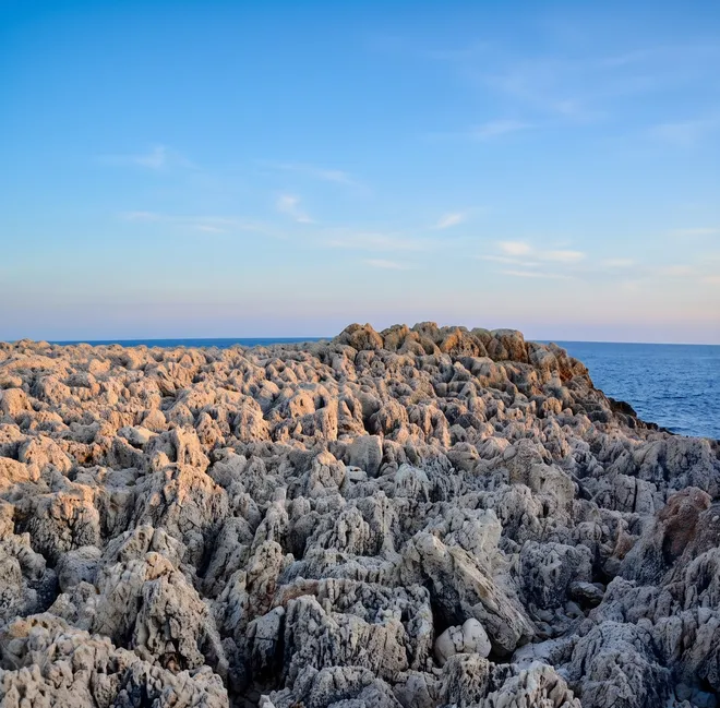
The Pounentis Trail
A rewarding north-to-south crossing leading to the striking cliffs of Pounentis cape.
- Difficulty
-
- Distance
- 4.9 km
- Time
- 2h
- Ascent
- 180 m
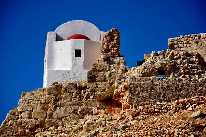
The Paleokastro Trail
An easy, enjoyable walk to the Paleokastro hill, showcasing the ancient acropolis, impressive fortifications, and stunning views.
- Difficulty
-
- Distance
- 1.5 km
- Time
- 45'
- Ascent
- 223 m
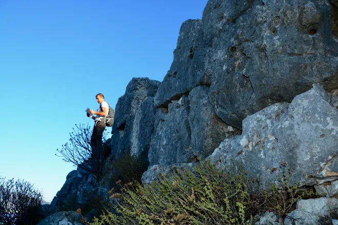
The Aghios Ioannis Trail
An interesting hike leading to the impressive Cyclopean wall, with outstanding views.
- Difficulty
-
- Distance
- 1.6 km
- Time
- 40'
- Ascent
- 125 m
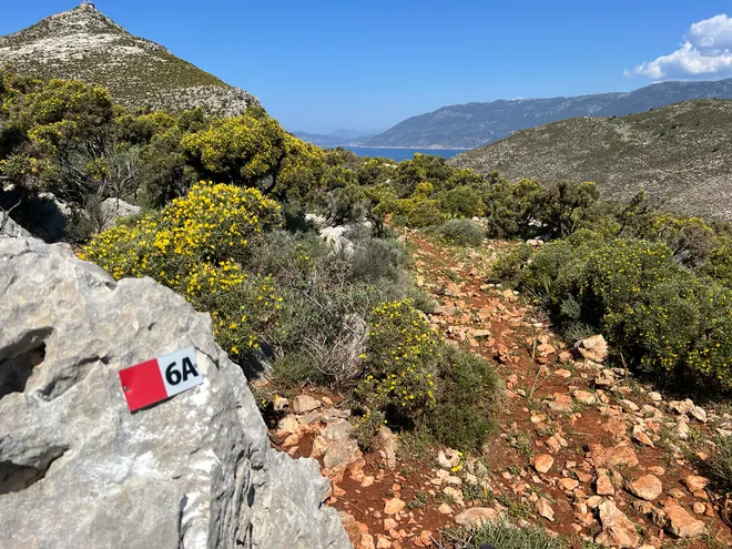
The Pilgrim's Trail
A useful connecting trail linking Routes 6, 7, and 8, perfect for creating flexible, custom circular hiking routes.
- Difficulty
-
- Distance
- 0.7 km
- Time
- 15'
- Ascent
- 11 m
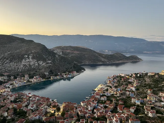
The Aghios Georgios Trail
The island's most popular trail, featuring 400 beautiful stone steps leading up to the historic Saint George Monastery.
- Difficulty
-
- Distance
- 1.5 km
- Time
- 50'
- Ascent
- 190 m
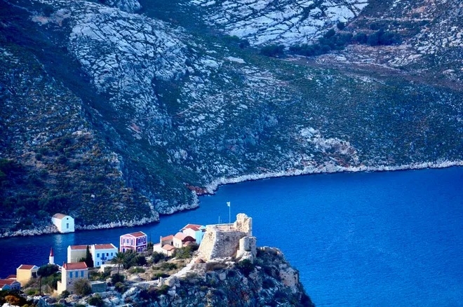
The Wine Press Trail
An excellent alternative ascent to the Avlonia Plateau, revealing ancient rock-cut tombs, historic wine presses, and superb views.
- Difficulty
-
- Distance
- 2 km
- Time
- 1h
- Ascent
- 212 m
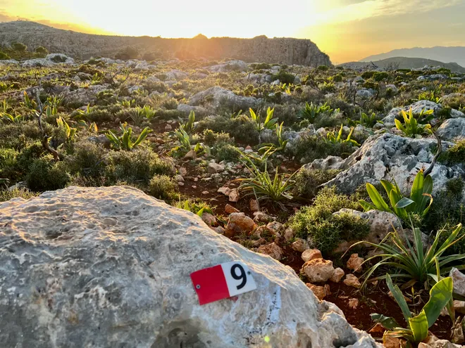
The Avlonia Trail
A beautiful trail on a historic cobbled path to the Avlonia plateau, past old estates and sweeping seascapes.
- Difficulty
-
- Distance
- 2.9 km
- Time
- 1h 30'
- Ascent
- 260 m
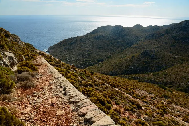
The Navlakas Trail
A unique hike along a well-preserved early 20th-century French military road, ending at the stunning Navlaka Bay.
- Difficulty
-
- Distance
- 1.8 km
- Time
- 35'
- Ascent
- 18 m
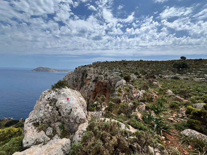
The Icarus Trail
A short, easy circular walk featuring truly breathtaking views of the rugged eastern coastline.
- Difficulty
-
- Distance
- 1.1 km
- Time
- 30'
- Ascent
- 100 m
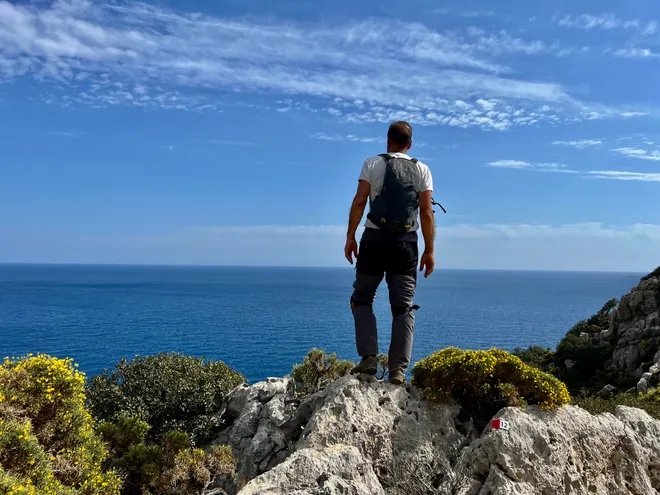
The Blue Trail
A delightful trail for nature lovers exploring the wildest parts of the island above the famous Blue Cave.
- Difficulty
-
- Distance
- 3.6 km
- Time
- 1h 30'
- Ascent
- 120 m
Distances and hiking times refer to walking one-way unless otherwise specified. The hiking times are indicative, based on an average pace of 3.5 km per hour on flat terrain, and do not include time for breaks. The difficulty level of each route is based on the route length, the total ascent and the type of terrain. Difficult trails require a good physical condition and some hiking experience. For out-and-back trails, always take into account the time required for the return trip.
About the network
Kastellorizo Trails is the official hiking trail network of the island. It is a project of the Municipality of Megisti, funded by the European Union.
The network extends across the entire island and includes 13 marked hiking routes totalling about 30 km. Following a detailed study conducted in 2022, it was developed in collaboration with local hiking enthusiasts and professional trail builders, while the trail clearing and waymarking works were completed in 2026.
Kastellorizo is an island best discovered on foot. Beyond its colourful harbour lies a landscape of dramatic limestone cliffs, hidden chapels, age-old footpaths, ancient ruins and breathtaking sea views stretching to the horizon. The Kastellorizo Trails network invites you to explore this unique corner of Greece through its marked trails, revealing the island's rugged natural beauty, rich history and timeless character. From gentle walks to more demanding hikes, every trail offers a journey through landscapes shaped by centuries of human presence and by the meeting of the Aegean and the Eastern Mediterranean. Slow down, follow the paths, and discover the authentic soul of Kastellorizo—one step at a time.
Waymarking
-
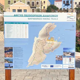
Large information boards
Large informational signs with maps and hiking route information at key points of the island.
-
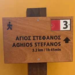
Wooden signs with destinations and distances
Placed at the starting point and at the main junctions of each trail.
-
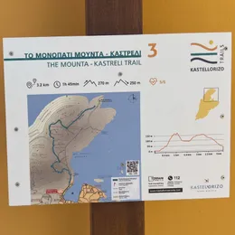
Map signs with trail map and information
Placed at the starting point and at the main junctions of each trail.
-
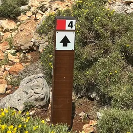
Signposts with direction and trail number
Placed at all intersections along the trail to guide you in the right direction.
-
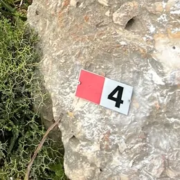
Trail markers
Attached to rocks, walls or poles at regular intervals along the trail.
Safe hiking practices
Hiking on the Greek islands is amazing — beautiful coastlines, ancient paths, and quiet villages — but the terrain and heat can make it risky if you're not prepared. Here are practical safety instructions for island hiking in Greece.
-
Never hike alone
Hiking with a partner or group helps ensure that unexpected problems can be handled more effectively, especially on remote trails.
-
Plan around the heat
The best seasons for hiking in Greece are spring and autumn (10–25 °C). If hiking in summer, start early in the morning or late in the afternoon and avoid the midday heat (12–4 pm). Always wear a hat and sunscreen, and avoid hikes longer than 2–3 hours.
-
Carry more water than you think you need
Bring at least 1.5 litres per person on shorter trails and 2–3 litres on the long routes, preferably with electrolytes. Do not rely on finding water along the trail.
-
Use proper hiking gear
Trail shoes or hiking boots, hiking trousers, a light-coloured breathable shirt, and a wide-brim hat. Avoid flip-flops!
-
Tell someone your plan
Make sure someone knows your route, destination, and expected return time.
-
Do not rely only on trail signs
Always carry a hiking map (printed or downloaded), and turn back if you are unsure of the route.
-
Stay on the waymarked trail
Off-trail terrain is often overgrown and may include steep or difficult sections that can be hazardous to cross.
-
Carry basic safety items
A fully charged phone, headlamp, pocket knife, first-aid kit, power bank, and some food.